
resources
Jamaica Smart City Plans: Unveiling the Future of Caribbean Urban Development
19 Mar 2026

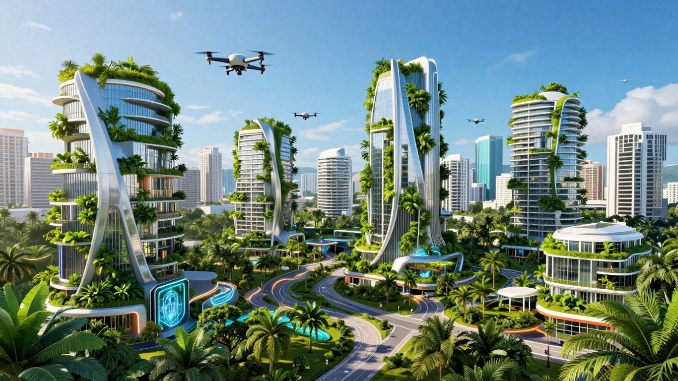
Jamaica is proactively envisioning a future where its urban centers are significantly enhanced. These initiatives are aptly termed 'Jamaica smart city plans,' and they center on leveraging innovative concepts and cutting-edge technology to address burgeoning urban challenges. What exactly does this entail? Consider, for instance, efforts aimed at bolstering urban resilience against climatic events such as storms and floods, while simultaneously ensuring equitable opportunities for all citizens—particularly the youth. This ambitious undertaking necessitates the involvement of diverse stakeholders and integrates sophisticated tools like geospatial mapping technology, alongside nature-based solutions, to foster smarter, more livable urban environments.
Key Takeaways
- Jamaica's approach to smart city planning strategically employs urban design principles to proactively prepare for climate change impacts, even in the face of considerable future uncertainties. Consequently, this entails implementing gradual, adaptive adjustments to urban layouts as evolving circumstances dictate.
- Projects like 'The One City Project' are specifically engineered to integrate young people from underserved or marginalized communities into city life, thereby striving to cultivate more equitable urban futures.
- Geospatial technology, particularly through the Mona GeoInformatics Institute, is instrumental in visualizing complex data and facilitating the resolution of urban challenges, thereby enhancing information accessibility and usability.
- Nature-based solutions, such as restoring mangroves and planting trees in urban areas, are recognized as critical 'biological infrastructure,' essential for maintaining urban livability and providing crucial protection against climate impacts.
- Jamaica faces challenges with informal settlements, urban sprawl, and flood risks—long-standing historical issues that demand concerted attention to achieve sustainable development objectives and fulfill global commitments.
Pioneering Jamaica Smart City Plans Through Urban Design
When we talk about building smarter cities in Jamaica, it's not just about simply integrating more technology. Fundamentally, a significant component revolves around the deliberate design of our urban environments. This necessitates a holistic perspective, examining the interplay between built structures, infrastructure, and green spaces—and critically, how such integration can bolster our capacity to address pressing challenges like climate change while simultaneously enhancing the quality of life for all residents.
Assessing Climate Resilience with Urban Design Frameworks
Climate change is a pressing concern, especially for island nations like Jamaica. Indeed, we are witnessing an uptick in the intensity of storm events and gradual sea-level rise. To proactively mitigate these risks, urban designers are actively formulating robust frameworks aimed at enhancing urban resilience. Far from being mere theoretical constructs, these represent tangible, practical instruments—they assist in discerning the current vulnerability of specific areas and inform strategic preparedness measures for anticipated future impacts.
- Understanding Risks: It is imperative to ascertain the probabilities of various hazards occurring, the degree of community exposure, and their intrinsic vulnerability.
- Planning for Change: Current plans often focus on post-disaster recovery. We need to think more about adapting over the long term, implementing gradual, adaptive changes that incrementally build resilience.
- Using Design Tools: A set of urban design concepts can be used to assess and improve the capacity of our cities to withstand climate impacts. These include things like ensuring areas are ecologically sensitive, possess robust connectivity, and are designed for multi-functional utility.
The current approach to adaptation often relies on quick fixes that don't always prepare us for slow-onset changes like sea-level rise. We need to shift towards designs that allow for gradual, ongoing adjustments.
Generative Transformation for Future Uncertainty
Forecasting the future presents inherent complexities. The precise nature of future challenges confronting Jamaica's urban centers—be they climate-induced shifts or other evolving circumstances—remains inherently uncertain. Rather than attempting exhaustive prognostication, urban design offers a powerful methodology for fostering cities capable of dynamic adaptation and evolution. This conceptual framework is termed "generative transformation." It entails implementing incremental, sustained modifications to urban infrastructure and planning, thereby enabling responsiveness to emergent needs. Such an approach ensures that the city can organically grow and evolve, maintaining its robustness and functionality irrespective of future eventualities. How do we future-proof our cities? Through adaptability.
Integrating Ecological Sensitivity and Connectivity
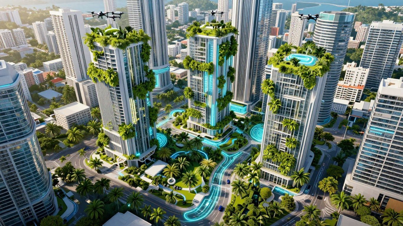
Smart city planning in Jamaica is also about re-integrating nature within the urban fabric. This means crafting urban environments that operate in synergy with natural systems, rather than in opposition to them. Consider, for example, expanded urban forestry initiatives, the restoration of vital mangrove ecosystems, and the establishment of interconnected green infrastructure throughout the city. Why is this so crucial? These are not merely aesthetic enhancements; they perform a crucial role in mitigating flood risks, ameliorating urban heat island effects, and fostering healthier urban living conditions. Integrating these natural elements is becoming as important as building roads and utilities.
Here's how it works:
- Green Infrastructure: The strategic deployment of natural systems—such as wetlands and urban forests—as integral components of municipal infrastructure.
- Biodiversity: Cultivating habitats within urban confines that actively support local biodiversity.
- Connectivity: Establishing seamless linkages between green spaces, thereby facilitating the movement of both wildlife and residents, and enhancing critical air and water circulation.
This approach helps build cities that are not only resilient to environmental changes but also more amenable and highly livable for their residents.
Addressing Urban Challenges with Innovative Initiatives
Jamaica, like many nations, is confronted by multifaceted urban challenges demanding innovative solutions. The country's smart city plans transcend mere technological implementation; they are profoundly centered on practical, impactful initiatives to enhance citizen well-being and foster increasingly resilient communities. This comprehensive approach encompasses addressing social inequalities, enhancing public participation, and cultivating robust inter-sectoral collaboration.
The One City Project: Empowering Marginalized Youth
The One City Project is a compelling illustration of Jamaica's strategic use of its smart city framework to meet critical social needs. This initiative is meticulously designed to target marginalized youth, providing them with vital pathways to education, skills development, and meaningful employment opportunities. By concentrating resources on this demographic, the project endeavors to disrupt cycles of poverty and disengagement, thereby integrating young individuals more comprehensively into the urban fabric. Ultimately, it is about equipping them with the requisite tools and sustained support to thrive within an evolving economy.
- Skills Development: Offering specialized vocational training tailored to the demands of the modern economy.
- Mentorship Programs: Establishing mentorship programs that link young individuals with seasoned professionals for invaluable guidance.
- Entrepreneurship Support: Providing essential resources and initial seed funding to burgeoning young entrepreneurs.
This project acutely recognizes that an authentically smart city must prioritize inclusivity, thereby ensuring that no segment of the population is marginalized or overlooked. This represents a pragmatic, hands-on approach to social development, firmly predicated on the principle that investing in youth is, unequivocally, investing in the nation's future.
Bridging the Gap in Urban Participation
Engaging all citizens in the urban planning process can often prove challenging. Jamaica's smart city efforts are actively exploring innovative methodologies to ensure that all residents, particularly those within underserved communities, possess a genuine voice in decisions profoundly impacting their neighborhoods. This necessitates a paradigm shift beyond conventional town hall gatherings, embracing more accessible and engaging avenues for communication and consultation. The overarching objective is to cultivate a more democratic urban development process, one where a multiplicity of diverse perspectives are not only heard but also genuinely considered.
Collaborative Efforts for Inclusive Urban Futures
The construction of a truly smart city is hardly a solitary endeavor. It mandates a robust network of collaborative partners, encompassing government agencies, private sector entities, academic institutions, and community organizations. Such collaborations are instrumental for effectively pooling resources, facilitating knowledge exchange, and ensuring the efficient implementation of projects. Through concerted collaborative action, Jamaica endeavors to forge urban environments that are not merely technologically sophisticated, but equally socially equitable and environmentally sustainable for the benefit of all its residents.
Leveraging Geospatial Technology for Urban Development
In today's world, understanding the spatial relationships within our cities is increasingly paramount. Geospatial technology, particularly Geographic Information Systems (GIS), provides sophisticated tools for mapping, analyzing, and visualizing intricate urban data. This capability enables the discernment of complex patterns, the precise identification of urban challenges, and the formulation of more evidence-based future planning strategies. Indeed, its utility extends far beyond mere cartography; it centers on harnessing location-based information to inform superior decision-making in urban development contexts.
Mona GeoInformatics Institute's Role in Smart Cities
The Mona GeoInformatics Institute (MGI) is a pivotal actor in Jamaica's smart city efforts. As the GIS and software development hub for the University of the West Indies, MGI contributes invaluable technical expertise and a profound understanding of spatial data analytics. MGI actively participates in projects specifically designed to harness this technology for broader societal benefit. A notable example involves MGI's ongoing development of interactive GIS dashboards. These powerful tools are meticulously engineered to render complex data more comprehensible and actionable.
Interactive GIS Dashboards for Data Visualization
Envision the capability to perceive urban data not solely as tabular figures, but as dynamic visual representations superimposed onto a map. This is precisely the transformative capability offered by interactive GIS dashboards. These dashboards can illuminate critical metrics such as population density, precise infrastructure locations, environmental risk profiles, or even patterns of human mobility. Curious about a specific neighborhood's challenges? These visual tools make it easier for planners, policymakers, and the public to grasp complex urban issues. Through intuitive interaction with various spatial layers and areas, users can delve deeper into the data, unearth subtle correlations, and gain a more lucid understanding of urban dynamics.
Here's a look at what these dashboards can help visualize:
- Infrastructure Mapping: Precisely mapping the geographical location and current condition of roads, essential utilities, and public edifices.
- Environmental Analysis: Graphically representing flood-prone zones, urban green spaces, or districts susceptible to environmental pollution.
- Socio-economic Data: Illustrating key socio-economic indicators such as population demographics, income disparities, or service accessibility.
- Project Monitoring: Systematically monitoring the progress and evaluating the tangible impact of urban development initiatives.
Harnessing GIS for Societal Benefit and Problem Solving
At its core, the application of GIS in urban development is fundamentally geared towards resolving real-world challenges and significantly enhancing human well-being. MGI's initiatives, for instance, prominently feature the application of geospatial technology to projects specifically designed to address pressing social challenges. Such applications might encompass mapping regions with constrained resource access or pinpointing communities most susceptible to the adverse effects of climate change. By furnishing lucid, data-driven insights, GIS proves instrumental in formulating targeted interventions and optimizing resource allocation. Ultimately, this methodology ensures that development endeavors are precisely concentrated where they are most urgently required, fostering more equitable and sustainable urban environments for all citizens.
Geospatial technology provides a unique lens through which to comprehend urban challenges. By seamlessly integrating diverse data sources and presenting them spatially, we are empowered to transcend mere assumptions, instead grounding our planning in concrete, verifiable evidence. Such an evidence-based approach is absolutely vital for cultivating cities that are not only highly efficient but also inherently equitable and resilient.
Nature-Based Solutions for Climate-Resilient Cities
Integrating Ecosystems into Urban Infrastructure
When we talk about building cities that can handle a changing climate, it's often tempting to envision large-scale, rigid structures such as seawalls. However, a compelling and growing movement advocates for working in concert with nature, rather than in opposition to it. This entails intricately weaving natural systems directly into the very fabric of our urban landscapes. One might conceptualize this as constructing with dynamic, living materials capable of adaptation and offering myriad co-benefits. Why embrace this approach? These nature-based solutions are becoming a key part of making urban areas more resilient to things like heavy rains, heatwaves, and rising sea levels.
Mangrove Restoration and Urban Forestry
Jamaica, with its beautiful coastline, stands to benefit immensely from safeguarding and rehabilitating its invaluable natural defenses. Mangroves, for instance, demonstrate an extraordinary capacity for attenuating wave energy, thereby offering critical protection to coastal communities against storm surges. Furthermore, they serve as vital fish nurseries and natural water filtration systems. The restoration of mangrove ecosystems is not merely an environmental imperative; it represents a shrewd strategy for safeguarding both property and livelihoods.
Similarly, planting more trees in urban areas, known as urban forestry, yields remarkable benefits. Trees naturally offer shade, which helps mitigate urban heat and diminishes reliance on energy-intensive air conditioning. Moreover, they effectively absorb rainwater, thereby reducing flood risks, and contribute significantly to improved air quality. Ultimately, it involves establishing verdant corridors that link disparate urban sectors, providing essential refuges for both human inhabitants and indigenous wildlife.
The Biological Infrastructure for Livable Cities
These natural elements can be conceptualized as a form of 'biological infrastructure.' Its significance is on par with conventional infrastructure like roads or power grids, yet its operational paradigm differs fundamentally. In lieu of concrete and steel, it comprises soil, vegetation, and integrated water systems operating synergistically.
Here are some ways this biological infrastructure can be applied:
- Green Roofs and Walls: Covering buildings with plants serves to insulate structures, manage stormwater runoff, and significantly mitigate the urban heat island effect.
- Permeable Pavements: Employing porous materials that facilitate water infiltration, thereby reducing surface runoff and replenishing groundwater reserves.
- Constructed Wetlands: These engineered systems emulate natural wetlands, fulfilling crucial roles in wastewater treatment and stormwater management.
- Bioswales and Rain Gardens: These intentionally landscaped areas are purposefully designed to capture and filter rainwater runoff originating from streets and other impervious surfaces.
Building with nature means we are not merely reacting to the exigencies of climate change; rather, we are proactively designing cities—cities that can flourish in harmonious coexistence with natural processes. This signifies a fundamental shift towards a more sustainable and adaptable urban future, one where ecological health and human well-being are intrinsically intertwined.
Understanding Urbanization and Informal Settlements
Jamaica, like many nations, is grappling with the intricate reality of urbanization, which frequently encompasses the proliferation of informal settlements. These areas—occasionally, and perhaps unhelpfully, referred to by alternative designations—typically emerge beyond the purview of conventional planning and regulatory frameworks. Crucially, their emergence is not solely attributable to poverty or a dearth of formal services; quite often, these settlements represent a pragmatic and adaptive response by residents to evolving needs, constructed organically by the community itself.
Challenges in Achieving Sustainable Development Goals
The growth of informal settlements poses a substantial impediment to the achievement of global development targets, especially those articulated within the framework of sustainable cities and communities. The absence of lucid data and standardized metrics for progress assessment significantly hampers effective planning. This challenge is further compounded by the prevalent location of many such settlements in highly vulnerable areas—such as coastal regions—thereby heightening their intrinsic susceptibility to natural hazards.
Historical Context of Informal Settlements in the Caribbean
In the Caribbean, the genesis of informal settlements frequently originates from historical land tenure patterns and profound economic shifts. Subsequent to emancipation, for example, numerous formerly enslaved individuals were dislocated from lands they had long occupied, prompting them to establish residences on land lacking formal legal tenure. This enduring historical pattern, juxtaposed with contemporary factors such as a scarcity of affordable housing, evolving family demographics, and occasionally lax enforcement of planning legislation, persistently influences the contemporary urban landscape.
Urban Sprawl and Flood Vulnerability in Coastal Areas
Rapid urbanization, even in places with slow population growth, can precipitate urban sprawl. This phenomenon manifests as cities expanding horizontally, encroaching upon and consuming greater tracts of land. In insular nations such as Jamaica, this expansion frequently occurs along coastal zones. This uncontrolled expansion increases the amount of developed land per person and, critically, places more communities in areas prone to flooding and other climate-related risks.
The dynamic nature of informal settlements implies that simplistic, isolated solutions are seldom effective. Instead, continuous monitoring and highly adaptable strategies are imperative, acknowledging the pivotal role residents frequently assume in incrementally improving their own living conditions.
Here's a look at some contributing factors:
- A persistent scarcity of affordable housing options within formal markets.
- Entrenched historical issues related to land tenure and equitable access.
- Systemic challenges in effectively enforcing zoning and building regulations.
- Complex socioeconomic factors significantly influencing housing choices.
- The exacerbated impact of climate change on vulnerable coastal settlements.
The Future of Jamaica Smart City Plans
Collaborative Research and Community Engagement
Looking ahead, the success of Jamaica's smart city initiatives is fundamentally contingent upon robust partnerships and broad-based community engagement. Projects like the "One City Project" illustrate how the convergence of diverse entities—such as the Mona GeoInformatics Institute (MGI), Slash Roots, and Fight for Peace—can yield tangible, transformative outcomes. This project, funded by Fondation Botnar, is specifically designed to uplift and support young individuals in urban centers who may experience marginalization. Its essence lies in comprehending the systemic barriers they encounter and devising strategies to foster their greater inclusion within urban societal structures. This kind of teamwork is key to building cities that work for all residents.
Technological Innovation in Urban Planning
Jamaica is already effectively leveraging advanced technological tools. The Mona GeoInformatics Institute, for example, maintains an extensive repository of Geographic Information System (GIS) data. This data is being actively deployed to inform crucial planning initiatives, particularly concerning climate change adaptation. Envision, for instance, interactive maps vividly displaying potential flood zones or highlighting areas poised to benefit from enhanced green infrastructure. Can we truly plan without such insights? Such sophisticated technology empowers planners to render more astute decisions, especially amidst the inherent unpredictability of climate change impacts. Fundamentally, it involves harnessing data to steer development along pathways that are both pragmatic and strategically forward-looking.
Creating Equitable and Sustainable Urban Environments
The ultimate goal is to create cities that are not only smart but also equitable and environmentally responsible. This necessitates a conscientious consideration of how urban development impacts all segments of society, with particular emphasis on vulnerable communities. Furthermore, it entails embracing nature-based solutions, such as the restoration of vital mangrove forests or the strategic implementation of urban forestry programs. These are not merely benevolent concepts; rather, they are evolving into essential infrastructure—infrastructure for sustaining urban livability in the face of a changing climate. The strategic imperative is shifting towards cultivating cities that can dynamically adapt and consistently thrive, thereby offering an elevated quality of life for generations yet to come.
Looking Ahead: Jamaica's Smart City Journey
Jamaica's move towards smart city development transcends mere technological integration; it represents a deliberate and thoughtful approach to fostering improved, more resilient communities for all citizens. By prioritizing elements such as climate preparedness and ensuring comprehensive participation for all residents—particularly the youth—Jamaica is charting a course for urban growth that is both intelligently conceived and inherently equitable. Projects like the One City initiative and the use of nature-based solutions demonstrate a profound commitment to confronting challenges directly and effectively. As these meticulously crafted plans progressively unfold, they offer a highly promising glimpse into how Caribbean cities can dynamically adapt and flourish in the future, thereby cultivating environments that are not only modern but also profoundly livable and inclusive for generations to come.
Frequently Asked Questions
What is a 'smart city' in Jamaica?
Within Jamaica, a smart city embodies an urban center that strategically deploys technology and intelligent planning methodologies to address multifaceted challenges and significantly enhance the quality of life for its inhabitants. It fundamentally revolves around leveraging innovative concepts to optimize critical sectors such as transportation and housing, while simultaneously ensuring equitable opportunities for all citizens—and diligently safeguarding our natural environment.
How are they planning for climate change in Jamaica's cities?
Jamaican urban planners are strategically employing ingenious urban design concepts to fortify cities against evolving climatic conditions, including more intense storms and gradual sea-level rise. This comprehensive approach incorporates nature-based solutions—such as extensive tree planting initiatives and the restoration of vital mangrove forests—to afford natural protection against flooding and ameliorate urban heat. Moreover, a forward-looking planning ethos acknowledges the inherent unpredictability of future environmental shifts.
What is the 'One City Project' about?
'The One City Project' stands as a dedicated initiative designed to empower young individuals residing in densely populated urban areas who often face systemic disadvantages. It strategically leverages robust research and technological tools to comprehensively understand their unique challenges and to forge inclusive pathways for their greater integration into urban life. The overarching aim is to ensure that every individual has the opportunity to contribute meaningfully and derive benefits from urban development.
How does technology like GIS help build better cities?
Geographic Information Systems (GIS) essentially function as an exceptionally intelligent mapping tool. It provides city planners with invaluable insights into the precise location of urban elements, their interconnections, and potential spatial dynamics. This capability facilitates more informed decision-making across various domains—from infrastructure development, like road construction, to critical coastal protection strategies and the resolution of community-specific challenges—by presenting complex information in visually accessible and easily digestible formats.
Why is it important to think about nature in city planning?
Integrating natural elements such as trees and wetlands represents an astute and effective strategy for urban protection. These inherent natural features possess the capacity to significantly mitigate flooding, cool excessively warm urban zones, and purify the air. One might consider it akin to constructing alongside nature, rather than solely with impervious concrete, thereby fostering cities that are inherently healthier and more agreeable places to reside.
What are informal settlements and why are they a challenge?
Informal settlements are residential areas where inhabitants typically reside without official legal tenure or consistent access to essential public services, such as reliable water and electricity. These areas often expand rapidly and frequently materialize in hazardous locations—for instance, along coastlines highly susceptible to flooding. Planning for such dynamic settlements is undeniably complex, yet it remains absolutely crucial to ensure that all individuals have access to safe and dignified housing.


