
resources
Discover the 3 Largest States in America by Land Area
07 Mar 2026

When we contemplate the United States, envisioning a vast country with immense stretches of land comes quite naturally, doesn't it? Yet, have you ever paused to consider which states truly command the most territory? The answers might surprise you. In this exploration, we'll delve into the three largest American states by land area—a fascinating look at their remarkable scale.
Key Takeaways
- Alaska is the biggest state by a really wide margin.
- Texas comes in as the second largest.
- California holds the third spot for land area.
- These three states alone cover a massive amount of the country.
- Land area can be different from total area because of water.
1. Alaska
When discussing America's largest states, Alaska unequivocally stands in a league of its own. Its sheer enormity is breathtaking, encompassing a staggering 665,384 square miles. To truly grasp its scale, consider this: it's nearly twice the size of Texas and accounts for roughly one-fifth of the nation's total land area. More than half of this colossal state, it turns out, is dominated by mountainous terrain, with magnificent glaciers blanketing over 5 percent of its vast geography. Prominent ranges like the Brooks Range stretch across its northern reaches, while the majestic Alaska Range carves its way through the southeast.
Notably, Alaska shares an extensive border with Canada; furthermore, just across the Bering Strait to its west lies Russia. Truly, it is a region defined by abundant natural beauty and immense, untamed open spaces.
Here's a quick look at its size compared to the next few states:
| State | Land Area (sq mi) |
|---|---|
| Alaska | 570,641 |
| Texas | 261,914 |
| California | 155,973 |
Among Alaska's many natural wonders, Denali National Park & Preserve stands out as a truly iconic destination. This immense park, spanning over six million acres, is famously home to Denali itself—North America's loftiest peak. Visitors from across the globe flock here to witness its grandeur and, with a bit of luck, glimpse a diverse array of wildlife, including formidable bears, majestic moose, and agile Dall sheep.
Alaska's sheer size means it has a very low population density. Most of the population lives in a few concentrated areas, leaving vast stretches of the state sparsely inhabited.
2. Texas
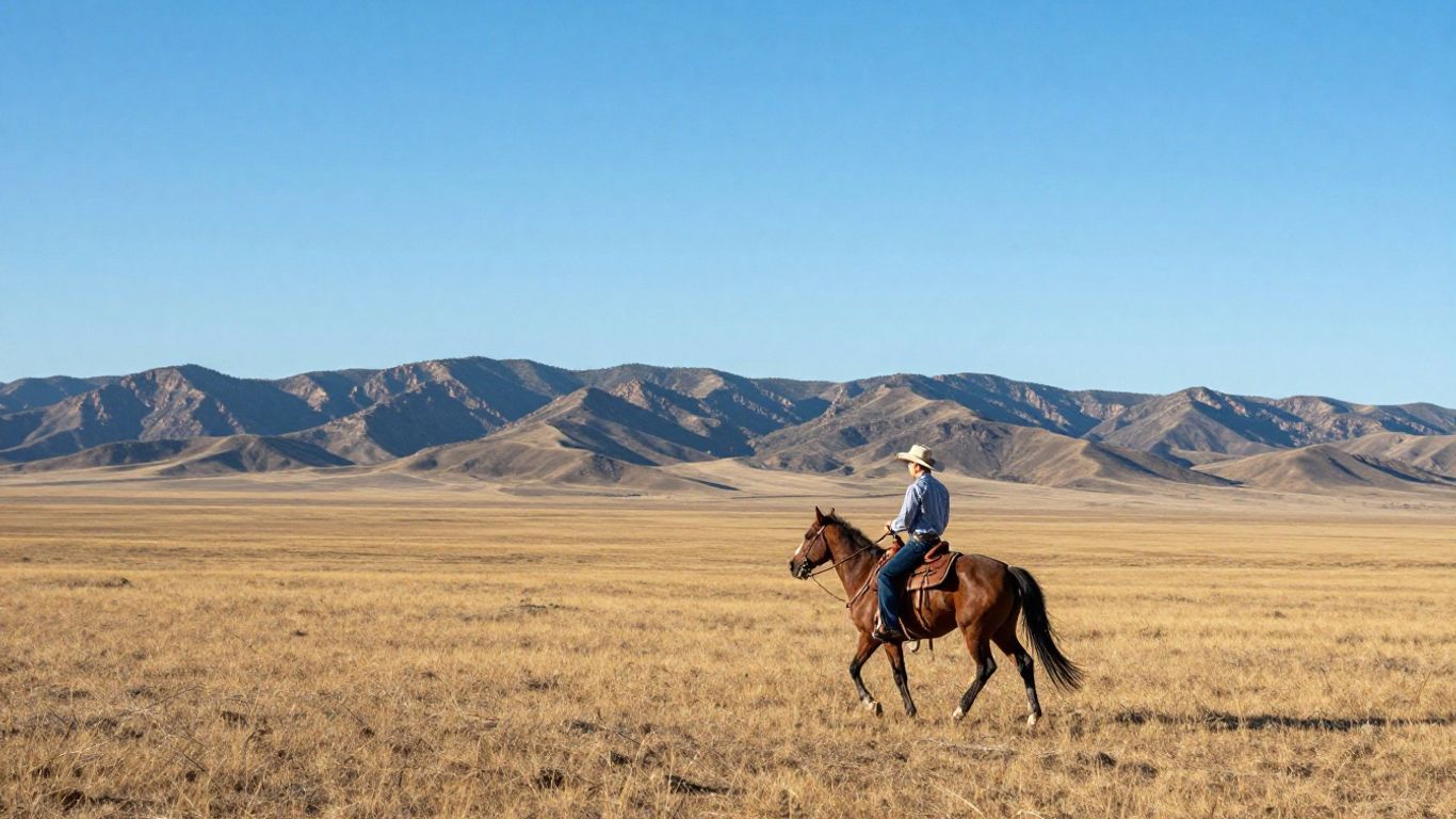
Securing its position as the second-largest state by land area, Texas truly embodies immense scale and a stunning diversity of landscapes. Encompassing a massive 268,596 square miles, its sheer size has undeniably molded both its rich history and distinctive culture.
Prior to its admission as a U.S. state in 1845, Texas enjoyed a period as an independent republic, having boldly declared its freedom from Mexico in 1836. This enduring independent spirit, it's fair to say, remains a cornerstone of the Texan identity today.
Here's a look at its size compared to other large states:
| Rank | State | Land Area (Square Miles) |
|---|---|---|
| 1 | Alaska | 570,641 |
| 2 | Texas | 261,914 |
| 3 | California | 155,973 |
| 4 | Montana | 145,556 |
Texas isn't merely vast in size; it also boasts an array of striking natural features. Consider, for example, that a significant portion of the Chihuahuan Desert—one of North America's most expansive deserts—resides squarely within its borders. This arid region, which it shares with Mexico, is characterized by scorching, dry conditions, scant plant life, and unique wildlife wonderfully adapted to survive in such an environment. Indeed, it's an enormous area, stretching well over 200,000 square miles, and plays a crucial role in regional water resources.
The state's geography is varied, from the plains and deserts in the west to forests and coastlines in the east and south. This variety means different parts of Texas have very different environments and ways of life.
Interestingly, Texas is further organized into six "survey districts," originally designated as "empresario grants." These historical divisions persist even today, having been established to facilitate the management of population growth and land use across the state. In fact, ancient thoroughfares like the Old San Antonio Road are still integrated into this venerable historical framework.
3. California
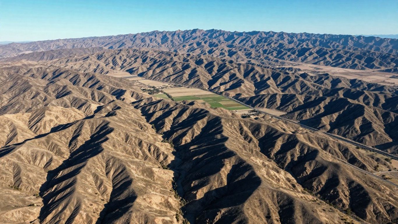
As the third-largest state by land area, California presents a landscape of truly incredible diversity, not only geographically but also in its impressive scale. Stretching gracefully along the western coast of the United States, it shares borders with Oregon to its north, Nevada to the east, and Arizona to the southeast, while the vast Pacific Ocean defines its entire western boundary.
California, it's worth noting, encompasses a significant expanse of 163,696 square miles. This immense territory naturally accommodates a breathtaking array of geographical features—from sun-drenched coastal plains and extraordinarily fertile valleys to formidable, towering mountain ranges and stark, arid deserts.
Here's a quick look at its land area compared to the top contenders:
| Rank | State | Land Area (Square Miles) |
|---|---|---|
| 1 | Alaska | 570,641 |
| 2 | Texas | 261,914 |
| 3 | California | 163,696 |
Among the most striking geographical features within California's expansive borders is undoubtedly the Sierra Nevada mountain range. This truly impressive chain extends for approximately 430 miles, proudly hosting Mount Whitney—the highest peak in the contiguous United States. The Sierra Nevada itself is a sanctuary of ancient old-growth forests, dramatic, sky-piercing peaks, and pristine, clear lakes, beautifully showcasing the state's unparalleled natural splendor.
The establishment of California's borders has a history tied to territorial changes and agreements, particularly following the Mexican-American War in 1848. These historical events shaped the state's current geographical boundaries.
Wrapping Up Our Look at America's Largest States
And so, there you have it. We've journeyed through the three largest states in the U.S. when it comes to sheer land area: Alaska, Texas, and California. It's quite astonishing to consider the vast territories these places encompass, particularly Alaska, which—as we've seen—is truly massive in comparison to its counterparts. Gaining an understanding of these spatial differences profoundly enhances our appreciation for the sheer scale and remarkable diversity of our nation. Whether you're contemplating a cross-country road trip or simply indulging a geographical curiosity, familiarity with these top three certainly provides an excellent sense of the expansive landscapes that define the United States.
Frequently Asked Questions
What makes Alaska so much bigger than other states?
Alaska's immense size stems primarily from its northern geographical position and its vast expanses of sparsely populated land. Essentially, it functions as a gigantic, wide-open frontier when contrasted with many other states. In fact, a significant portion—a very considerable chunk, indeed—of the United States' total land area is actually found within Alaska!
Is Texas bigger than California?
Indeed, Texas surpasses California in terms of land area. Specifically, Texas holds the distinction of being the second-largest state, while California ranks third. This means Texas, quite simply, offers considerably more physical space.
Why is land area important when ranking states?
It's true that some states feature extensive bodies of water, such as vast lakes or expansive ocean coastlines, which naturally contribute to their overall total area. However, when our interest lies specifically in the amount of solid ground available for habitation or exploration, focusing on land area invariably provides a far clearer and more accurate picture.
Are there states that are surprisingly large?
Montana and New Mexico are notably expansive and frequently catch people by surprise, perhaps because they don't always garner the same public recognition as California or Texas. Nevertheless, both states boast abundant wide-open spaces and breathtaking natural beauty.
How much bigger is Alaska than the next biggest state?
Alaska is, in fact, considerably—indeed, vastly—larger than Texas, which holds the rank of the second-biggest state. With over 570,000 square miles of land, Alaska dwarfs Texas's approximate 261,000 square miles. To put it simply, that's more than double the size!
Do these large states have a lot of people?
Not necessarily! Interestingly, Alaska, despite its colossal size, maintains a remarkably small population. Texas and California, on the other hand, are also counted among the nation's most densely populated states. Thus, sheer geographical expanse doesn't always correlate with a high population count.
Share

citiesabc resources
Citiesabc is a digital transformation platform dedicated to empowering, guiding, and indexing cities worldwide. Established by a team of global industry leaders, academics, and experts, it offers innovative solutions, comprehensive lists, rankings, and connections for the world's top cities and their populations


