
resources
Discover the 5 Biggest States in the US by Land Area
15 Mar 2026

Ever gazed at a map of the United States and found yourself pondering which states truly dominate the landscape in terms of sheer size? It's a common query, and frankly, some states are simply colossal. We're talking about an expansive scale that truly underscores the immense landmass within this country. Let's delve into the five largest states by land area in the U.S. — it's quite fascinating to observe how they stack up against one another.
Key Takeaways
- Alaska stands as the largest state in the U.S. by a considerable margin, encompassing more territory than any other.
- Texas secures the second position, notably larger than California, which ranks third.
- Montana and New Mexico complete the top five, illustrating that the nation's biggest states aren't exclusively confined to the coasts.
- Collectively, the top 10 largest states account for a significant portion of the country's total landmass.
- Grasping state sizes can certainly enhance one's performance in geography quizzes and broaden general knowledge about the United States.
1. Alaska
When discussing the largest states in the U.S. by land area, Alaska truly occupies a category all its own. It isn't merely large; it's absolutely immense. Spanning a breathtaking 665,384 square miles, Alaska is more than double the size of Texas, the next state on our distinguished list. In fact, this enormous state constitutes approximately one-fifth of the entire landmass of the United States.
Much of Alaska's terrain is profoundly dramatic, with majestic mountains blanketing over half of its territory. Then there are the glaciers – these magnificent formations alone occupy more than 5% of the state. You'll find two prominent mountain ranges here: the Brooks Range, situated far to the north, and the Alaska Range, which gracefully traverses the central and southeastern regions.
It's also worth highlighting Alaska's unique geographical placement. It shares a substantial eastern border with Canada, while across the historic Bering Strait to the west lies Russia. Quite a strategic and expansive locale, wouldn't you agree?
Here’s a concise overview of its size in comparison to the subsequent states:
| Rank | State | Land Area (Square Miles) |
|---|---|---|
| 1 | Alaska | 665,384 |
| 2 | Texas | 268,596 |
| 3 | California | 163,696 |
Alaska's sheer magnitude inherently translates into a remarkably low population density. Vast expanses of pristine wilderness remain largely undisturbed, offering unparalleled natural beauty and exceptional opportunities for wildlife observation, particularly within Denali National Park, home to North America's highest peak.
2. Texas
Following closely on our list of the biggest states by land area is Texas, famously known as the Lone Star State. It truly lives up to its moniker, not just in spirit but also in its impressive physical expanse. When Texas initially joined the United States, its borders were quite distinct, even encompassing portions of what are now Colorado, New Mexico, and Wyoming. Over time, through various agreements and negotiations, its boundaries were meticulously settled into the recognizable shape we see today.
Texas boasts a remarkable diversity of landscapes. While many envision sprawling ranches and quintessential cowboy culture, it also contains a significant segment of the Chihuahuan Desert. This expansive desert region, shared with neighboring Mexico, is actually larger than California itself and is characterized by a hot, arid climate with sparse vegetation, ranging from rocky hills to vast open grasslands. It serves as a vital habitat for unique species and an important source of groundwater.
Below is a snapshot of its size relative to other large states:
| Rank | State | Area (Square Miles) |
|---|---|---|
| 1 | Alaska | 665,384 |
| 2 | Texas | 268,596 |
| 3 | California | 163,695 |
| 4 | Montana | 147,040 |
| 5 | New Mexico | 121,590 |
Notably, Texas holds the distinction of being the largest state within the contiguous United States. It's a place rich in history, with a landscape that consistently captivates onlookers through its sheer scale and striking variety.
3. California
Securing the third position on our list of the biggest states by land area is California. This illustrious Golden State, positioned along the western edge of the U.S., stretches across a massive 163,696 square miles. It's a region renowned for countless attributes—from its iconic sun-drenched beaches to its majestic, towering mountains and, of course, its exceptionally large population.
California's borders have a rich history, intrinsically linked to the conclusion of the Mexican-American War in 1848. The territory that comprises California today was, prior to that conflict, an integral part of Mexico. The treaty that brought an end to the war recognized many inhabitants living there as U.S. citizens, though, regrettably, this did not initially extend to Native Americans. Over the subsequent years, various agreements with adjacent territories and states like Oregon, Nevada, and Arizona progressively solidified its current geographical configuration.
Among the most breathtaking natural features within California is the Sierra Nevada mountain range. This truly impressive chain extends for approximately 430 miles and encompasses Mount Whitney, which proudly stands as the highest peak in the contiguous United States. The Sierra Nevada presents a wonderfully diverse landscape, characterized by sharp, dramatic peaks, ancient, verdant forests, awe-inspiring waterfalls, and crystal-clear lakes.
| State | Area (sq mi) | Contiguous? |
|---|---|---|
| California | 163,696 | Yes |
California truly stands as a state of magnificent contrasts, offering everything from the parched deserts—like certain sections of the Great Basin—to lush, vibrant forests and the dramatic, imposing peaks of its mountain ranges. This incredible variety in its landscape is undoubtedly a significant factor in what makes it so uniquely captivating.
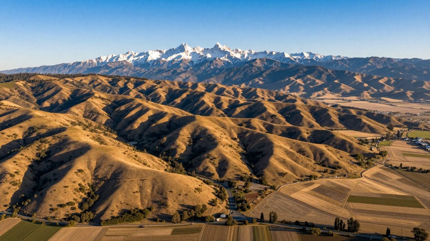
4. Montana
Montana, often affectionately dubbed "Big Sky Country," proudly holds the title of the fourth-largest state in the U.S. by land area, encompassing an impressive 147,040 square miles. Its sheer vastness is a defining characteristic, a grandeur shaped profoundly by historical events and significant treaties. The pivotal Louisiana Purchase in 1803 played a role in establishing its northern border with Canada, while subsequent negotiations—and at times, conflicts—with various Native American tribes helped to meticulously define its internal boundaries.
Montana's landscape is an exhilarating blend of rugged, untamed mountains and expansive, wide-open spaces. The majestic Rocky Mountains slice through the western portion of the state, creating breathtaking scenery and providing a sanctuary for Glacier National Park. This park alone offers more than 700 miles of trails for adventurous exploration. Beyond these formidable mountains, sweeping plains stretch across the state, fundamentally contributing to its profound sense of immense scale.
Here’s a glimpse at its size in comparison to other large states:
| Rank | State | Size (Square Miles) |
|---|---|---|
| 1 | Alaska | 665,384.04 |
| 2 | Texas | 268,596.46 |
| 3 | California | 163,696.32 |
| 4 | Montana | 147,039.71 |
| 5 | New Mexico | 121,590.30 |
The Bighorn Mountains, a notable subrange of the Rockies, represent a significant topographical feature in the northeast, covering nearly 9,000 square miles and forged by ancient geological activity. These formidable mountains are composed of diverse rock types, including limestone and sandstone, with certain areas revealing metamorphic rocks. The surrounding region is remarkably rich with rivers, therapeutic hot springs, and active geysers, all generously fed by melting snow and glacial runoff.
Montana's borders, in essence, serve as a testament to its compelling history, representing a remarkable blend of distinctive geographical features and the definitive outcomes of treaties and complex political agreements that have meticulously sculpted its current form over many centuries.
5. New Mexico
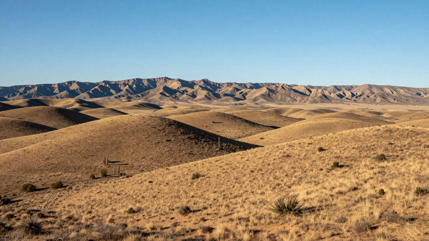
Rounding out our impressive roster of the largest states by land area is New Mexico, securing the fifth spot. This southwestern jewel spans a massive 121,590 square miles, firmly establishing it as a significant geographical player in terms of sheer size. Wondering about its neighbors? It's bordered by Colorado to the north, Arizona to the west, Texas to the east, and—perhaps most interestingly—even shares an international southern border with Mexico.
New Mexico's rich history is profoundly interwoven with its unique land. It was once an integral part of Spanish colonies and subsequently Mexican territory before achieving U.S. statehood in 1912. This vibrant past is beautifully mirrored in its diverse landscape, which showcases everything from sweeping deserts to breathtaking geological formations.
Key Facts About New Mexico's Size:
- Total Area: Approximately 121,590 square miles.
- Rank: It proudly stands as the 5th largest state in the U.S.
- Notable Neighbor: Significantly, it shares an important border with Mexico to the south.
One of the most visually striking features of New Mexico's landscape is Shiprock, a truly dramatic volcanic rock formation that juts imposingly out of the desert floor. It ascends over 1,500 feet, serving as a powerful testament to the state's distinctive geological character and its impressive scale.
The sheer vastness of New Mexico means it encompasses an extraordinary variety of terrains, ranging from arid, sun-baked deserts to rugged, majestic mountainous regions—each distinctively contributing to its overall expansive land area and its unique, captivating identity.
Wrapping Up Our Tour of the Giants
So there you have it—a comprehensive look at the five largest states in the U.S. by land area. From the immense, wild expanses of Alaska to the sprawling territories of Texas, California, Montana, and New Mexico, these states truly underscore the "United" in United States. It's quite remarkable to reflect on just how much geographical space these five alone command. Whether you're meticulously planning an epic road trip or simply enjoy expanding your general knowledge, grasping the sheer scale of these places undeniably offers a fresh perspective on our nation. It serves as an excellent reminder of the incredible—and vastly diverse—geography we are fortunate to have across the country.
Frequently Asked Questions
Which state is the biggest in the United States?
Alaska is, without a doubt, the undisputed champion when it comes to sheer size. It's so incredibly vast that it covers more land than 22 other U.S. states combined! To put it another way, it’s even larger than the entire country of France.
How much bigger is Alaska than Texas?
Alaska is more than double the size of Texas. If you were to hypothetically lay Alaska over Texas, Alaska would still have plenty of room left over, showcasing its immense scale!
Are the biggest states all on the West Coast?
Not precisely. While California and Montana are situated on or near the West Coast, Alaska is located far to the north, and both Texas and New Mexico are prominent states in the southern part of the country.
Why are Eastern states generally smaller?
Many eastern states were settled considerably earlier in the nation's history, a period when land was often divided and organized quite differently. Later on, particularly as settlement moved westward, the U.S. had a more established governmental structure, which significantly influenced how vast tracts of land were subsequently organized into states.
Do the largest states have a lot of people?
Not necessarily. Alaska and Montana, for instance, are enormous in size but maintain relatively sparse populations. Conversely, California is both a vast state and home to an exceptionally large number of inhabitants.
What does 'land area' mean?
Land area specifically refers to the actual ground space a state encompasses. This metric is distinct from "total area," which would also include any lakes, rivers, and coastal waters situated within the state's defined borders.


